
“The explosive volcanics of Round How”
Date: 11th June
Start at 10.00am Meet at Honister National Trust Car Park NY 22569 13531
Dave Haselden
Logistics
Meet at 10 am at the National Trust car park at Honister Pass (NY 2258 1352), unless the weather is poor then we shall meet in the
Slate Mine café. Parking is free to members, but for non-members it is cheaper to park in the Honister Slate Mine carpark (£5/day).
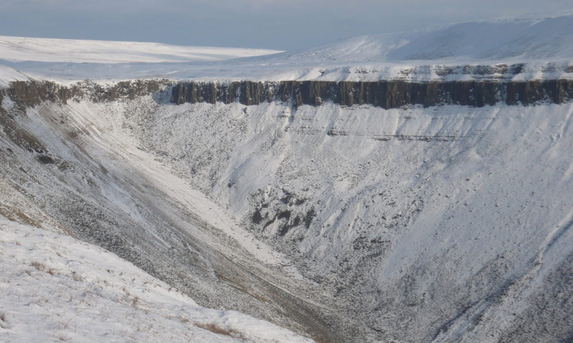
The day will entail around 6 km of walking with an ascent/descent of around 500m mainly on mountain paths and sheep tracks but
with sections of open fell (heathery and possibly boggy) and a stream crossing at Wharnscale Beck (stepping stones – poles will
help). Depending on weather/enthusiasm etc the trip will last 4-6 hours. As of 31 May 2023 conditions were quite dry underfoot
and the stream crossing straightforward.
Introduction
The BGS has now made the 1:10000 survey maps available online via the BGS Maps Portal. The 1:10000 sheet for Round How is NY21SW and is worth a look to see what was recorded by the survey. The Round How Member [RHM] of the Birker Fell Formation is typically described in terms of sedimentary nomenclature [e.g. sandstones etc]. Virtually, if not all, the clasts are andesitic in composition though they vary from igneous textures to welded ignimbrite. We believe that the Round How Breccia Member is virtually all primary pyroclastic in nature. Hence terminology should be tuff, lapilli tuff, etc. Our interpretation is based on the presence of abundant impact sags, abundant coated lapilli, widespread ultra-fine rim type accretionary lapilli with rim fragments in some layers, upper flow regime cross-bedding, eutaxitic textures, and layers that thicken into troughs in the manner of pyroclastic density current (PDC)/ignimbrite deposits. The troughs are rounded, a morphology compatible with erosion by pyroclastic currents. There is very little documentation available about the Round How Member [RHM]. McConnell & Kneller [1993] provide the most information and this account appears to have been the basis for the subsequent publications mentioned here. Two localities are briefly described by Tuffen [2008] and the area is covered by an excursion in ‘Lakeland Rocky Rambles’ by Bryan Lynas [1999]. Otherwise the member has been very briefly mentioned in the Explanation Booklet for the Keswick 1:50,000 sheet [Woodhall 2000] and the British Geological Survey’s British Regional Geology, Northern England [Stone et al. 2010]. The latter two publications provide little detailed comment and leave an overall interpretation of the member ambiguous. The BGS 1:10,00 survey maps are now available online and provide interesting insight into the interpretation of the geology. McConnell & Kneller [1993] use sedimentary terms [sandstone, etc.] in describing the deposits in the member and interpret the RHM as coarse fragments formed by autobrecciation of an inflating, and autobrecciating, andesite lava pile; the coarse detritus was then washed into a shallow lake. Our interpretation is that most if not all the RHM is primary pyroclastic formed in a tuff-ring or maar like setting. The widespread coated lapilli and common accretionary lapilli suggest very moist, low temperature [<100oC] pyroclastic currents. Virtually all of the lapilli are angular and have igneous textures meaning that the explosivity was created when magma encountered external water probably groundwater in an aquifer. Typically this eruptive style involves decades to 100s of years between eruptions because the water supply has to be replenished. Each eruption started with fragments being ballistically ejected and an eruption column of sufficient height to produce pyroclastic currents when the column collapsed.